In Detail
MOUNT BONA (16,421 ft) AND CHURCHILL (15,638 ft)
West Face of Mount Bona (First Ascent July 1930) Alaska Grade 2 – Allen Carpe, Terris Moore, and Andrew Taylor
The South Ridge of Churchill (First Ascent August 1951) Alaska Grade 2 – R. Gates and J. Lindberg
The East Ridge of Mount Bona (First winter ascent February 1985) – Paul Denkelwalter, Earl Redman, Rich Burton, and Dave Pahlke
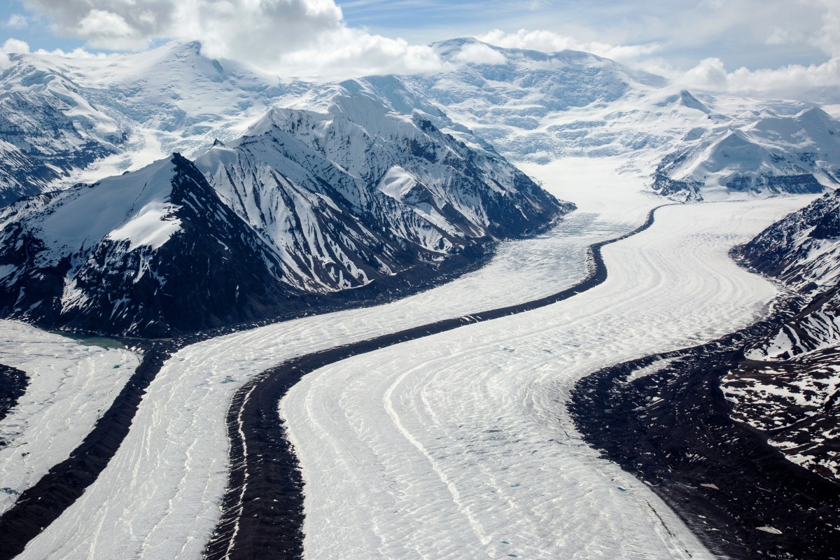
Access: Klutlan Glacier landing at 10,100 ft
Route Elevation Gain: 6,500 ft
FA: Mont Bona- Allen Carpe, Terris Moore and Andrew Taylor in 1930. Mount Churchill- R. Gates and J Lindberg in 1951
Season: May-July
Over View:
These two peaks are actually one large stratovolcano separated by a large plateau-caldera at 14,000ft that spans three miles.
Mount Bona was named by the Duke of the Abruzzi in 1897, who saw the peak while making
the first ascent of Mount Saint Elias, he named it after his racing yacht.
Route Description: Fly into the Klutlan Glacier at about 10,000ft. Take care in this area, for
there have been a lot of crevasse falls and accidents. Aside from the dangers, these two peaks are
excellent skiing objectives and the terrain allows you to put in as many camps as needed or
none.
From 10,000ft ascend up to the left of a very broken rib of glacier with some seracs, to about
12,500ft. To the climbers left side of the rib can be a wind loaded ramp that provides the best
snow bridges across the crevasses. 12,500ft is a good spot to make a camp.
Above 12,500ft ascend up a glaciated concave bowl, this area is still heavily crevassed and poses
some avalanche danger. At 14,000ft the large caldera-plateau is reached.
Once the rim of the caldera is reached Mount Churchill is the closest and Mt. Bona is still two
miles away.
Traverse a flat mile to the base of the South East Ridge of Mount Churchill. The ridge is a very
aesthetic knife edge ridge to the summit.
Mount Bona requires a two-mile traverse across the plateau. Once at the base, ascend up the
broad slope at a 30-40 degree angle.